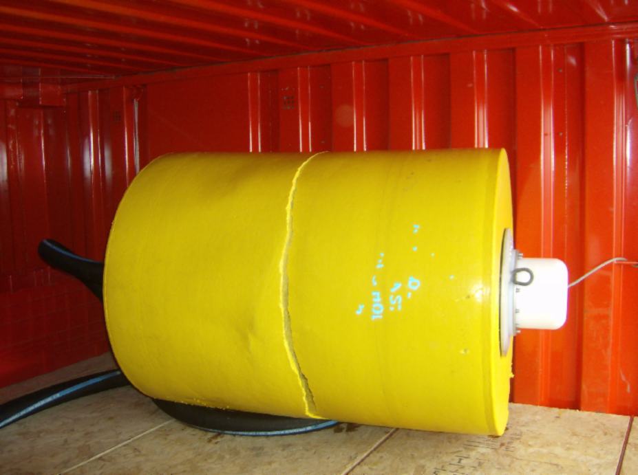
ITP 15 Recovery Operations
On November 5, 2007, less than 2 months (and only 165 profiles) after deployment, data stopped being received from ITP 15 surface package. Surprisingly, data transmission resumed on June 17, 2010 -- over 2.5 years later! It took over 3 weeks to transmit the backlog of files stored in its buffer which included profile attempts up to 1305. These data ultimately provided an additional 5 times more valid profiles to those received prior to resurfacing. Unfortunately, the record also revealed that the mooring tether apparently dragged several times over shallow bathymetry, eventually dragging the profiler completely off on the continental shelf at the mouth of Nares Strait.
Upon the buoy resurfacing, GPS positioning resumed showing that the package was located on the east coast of Ellsmere Island near Griese Fiord. Over the next couple of months, it drifted south and crossed Lancaster Sound nestling with the ice up against northern Baffin Island near Pond Inlet before being recovered by the CCGS Des Groseilliers in bergy water on August 14, 2010. Using the latest GPS locations broadcast by the surface package, it took only about 10 minutes of search time to locate it and 2 hours to recover the buoy and nearly 800 meters of wire which was still attached. Our thanks are extended to the Canadian Coast Guard Regional Operations Center as well as the Captain, officers, and crew of the Des Grosseilliersfor their recovery support.
