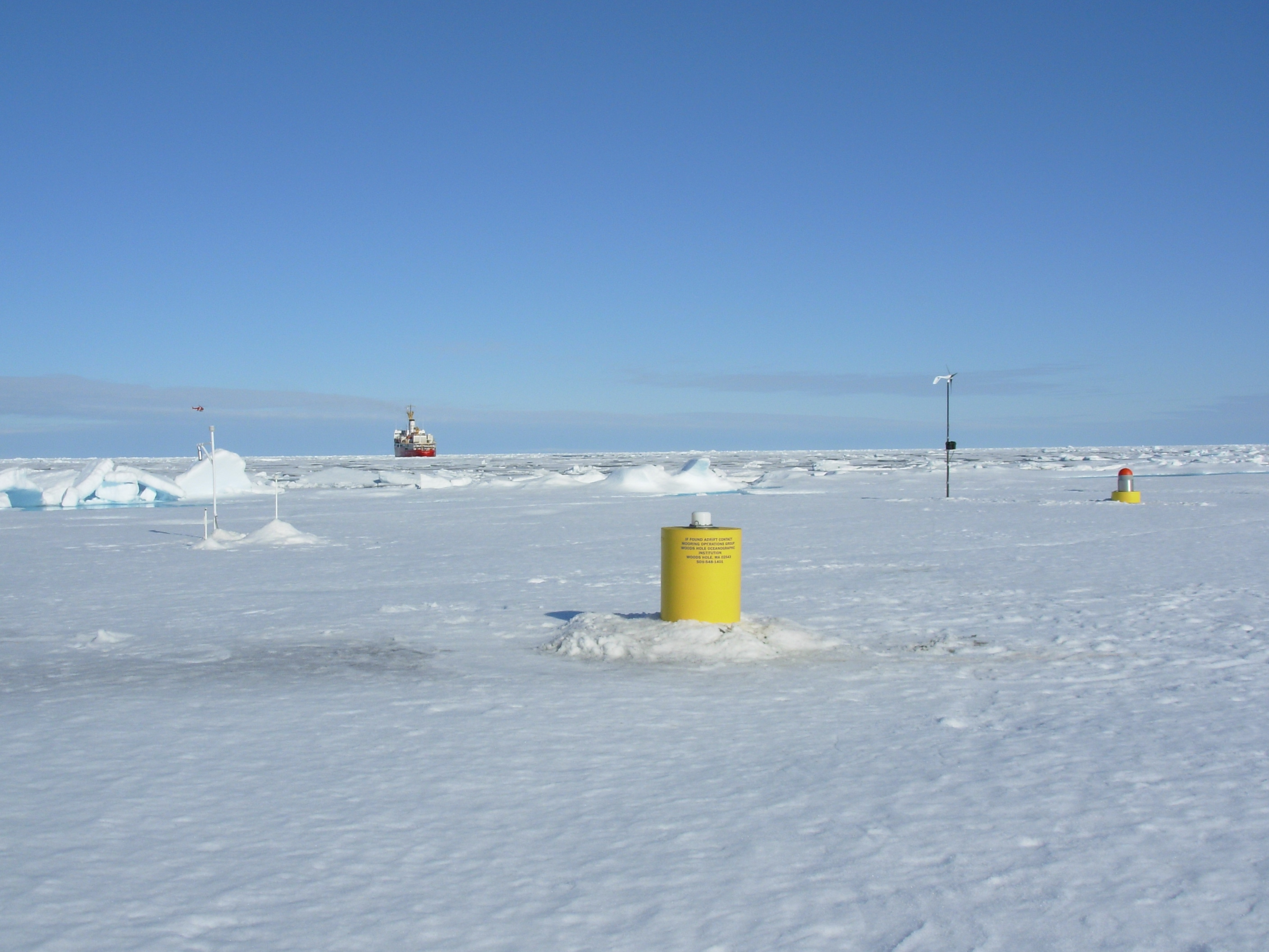
ITP18 Overview
Deployment Location: 8/16/2007, 21:00 UTC at 78° 56’N, 139° 58’W
Last Location: 10/21/2008, 17:01 UTC at 74° 8.1’ N, 143° 20.1’ W
Duration: 432 days
Distance Traveled: 3568 km
Number of profiles: 914 in 419 days
Other instruments: AOFB 13, IMB 2007-E
ITP18 was deployed on a 3.3 m thick ice floe in the Beaufort Sea at as part of the Beaufort Gyre Observing System (BGOS) during the JOIS 2007 cruise on the CCGS Louis S. St. Laurent. On the same icefloe, a US Army Cold Regions Research and Engineering Laboratory (CRREL) Ice Mass Balance Buoy (IMB 2007-E) and a Naval Postgraduate School Arctic Ocean Flux Buoy (AOFB 13) were also installed. The ITP operated on a standard sampling schedule of 2 one-way profiles between 7 and 760 m depth each day while drifting south from 78 to 74° N over a 14 month period and spent the last 6 weeks in the MIZ or open water.
