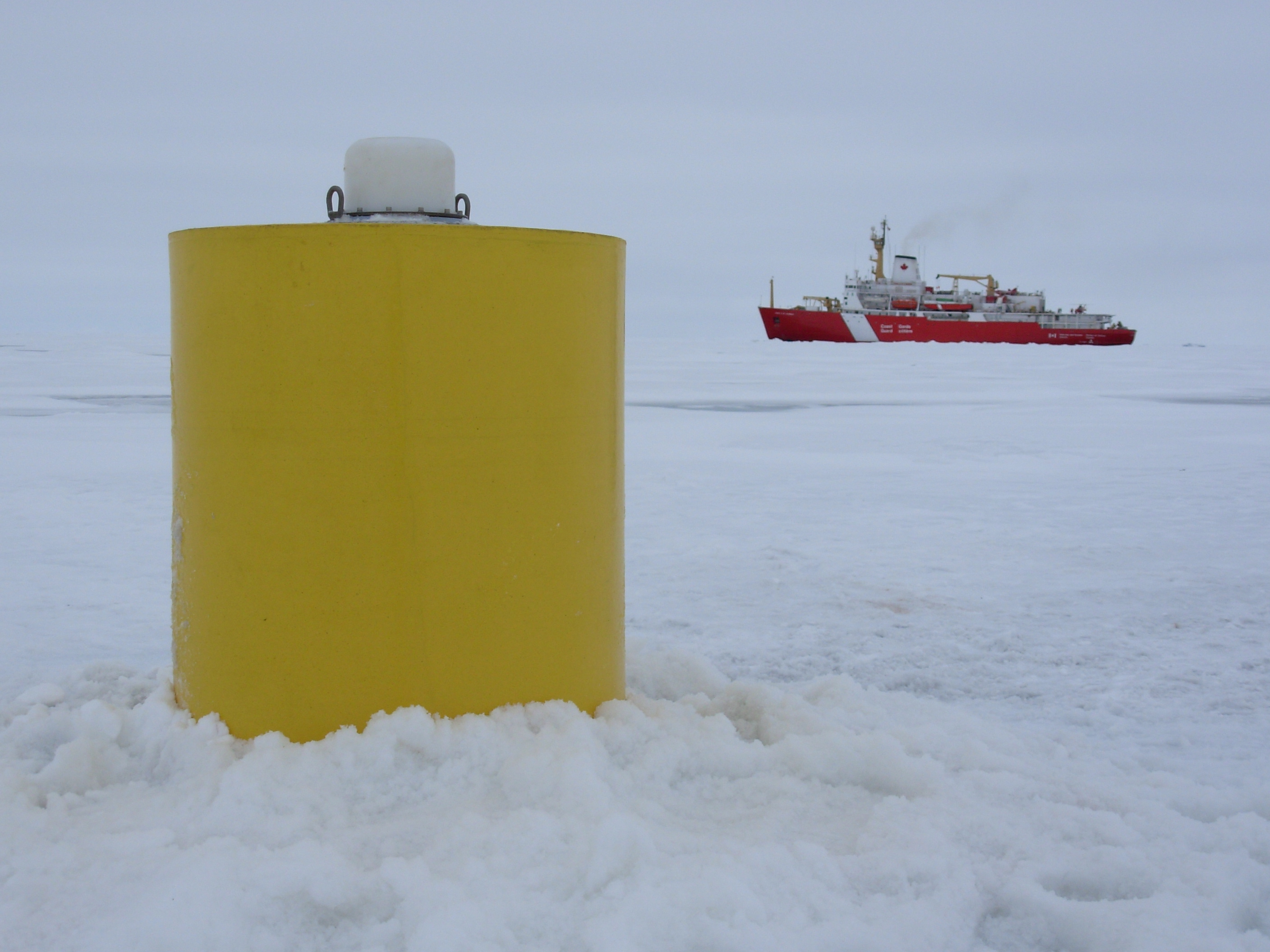
ITP 4 Overview
Deployment Location: 9/3/2006, 00:00 UTC at 78° 7.6’N, 148° 59.2’W
Recovery Location: 8/17/2007, 21:00 UTC at 78° 30’ N, 139° 34’ W
Duration: 348 days
Distance Traveled: 2376 km
Number of profiles: 698 in 349 days
Other instruments: none
ITP4 was deployed on a 3.5 m thick ice floe (with 30 cm of freeboard) in the Beaufort Sea as part of the Beaufort Gyre Observing System (BGOS) during the JWACS 2006 cruise on the CCGS Louis S. St. Laurent. The unit operated on a standard schedule of 2 one-way profiles between 7 and 760 m depth each day, but the inductive modem link between the underwater profiler and surface buoy did not function, so the profiler data (698 casts) were not recovered until the ITP was retrieved the following summer during the JOIS 2007 cruise.
