ITP42 Overview
Deployment Location: 10/4/2010, 00:00 UTC at 77° 39.8’N, 146° 15.5’W
Recovery Location: 7/31/2011, 23:02 UTC at 76° 20.6’ N, 148° 2.7’ W
Duration: 300 days
Distance Traveled: 2418 km
Number of profiles: 386 in 192 days
Other instruments: AOFB 22, IMB 2010-E
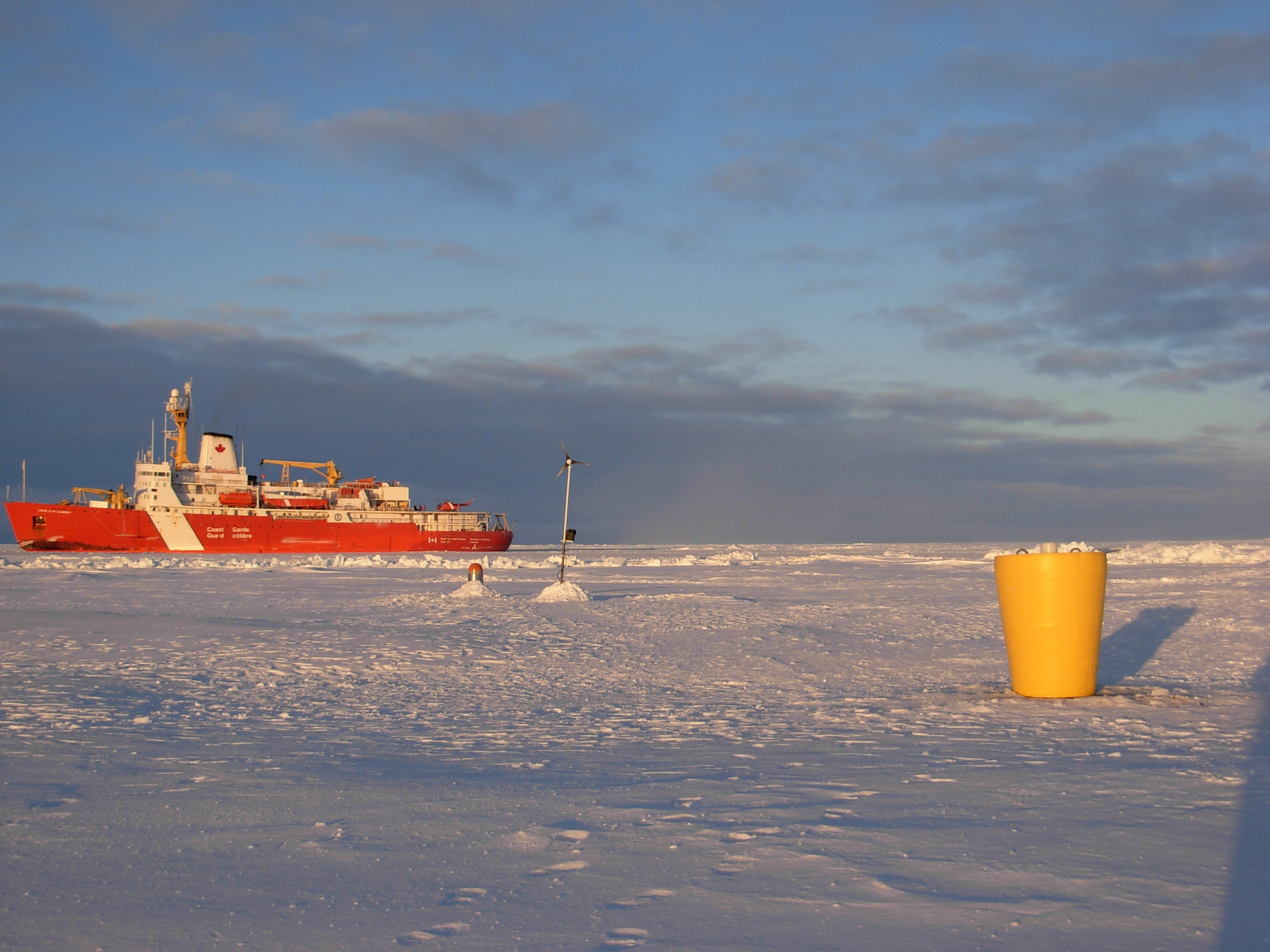
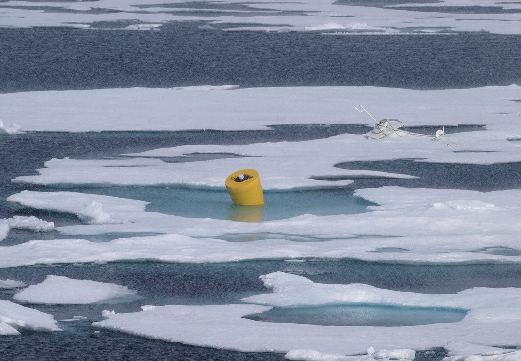
ITP 42 was deployed on a 2.35 m thick ice floe in the Beaufort Sea as part of the Beaufort Gyre Observing System (BGOS) during the JOIS 2010 cruise on the CCGS Louis S. St. Laurent. On the same icefloe, a Naval Postgraduate School Arctic Ocean Flux Buoy (AOFB 22) and a US Army Cold Regions Research and Engineering Laboratory (CRREL) Ice Mass Balance Buoy (IMBB 2010-E) were installed. The ITP operated on a standard sampling schedule of 2 one-way profiles between 7 and 760 m depth each day until the profiler battery failed prematurely after only 6 months. Fortunately, the system drifted near the cruise track of the CCGS Louis S. St. Laurent during the JOIS 2011 expedition, and the opportunity was taken to recover the ITP intact.

