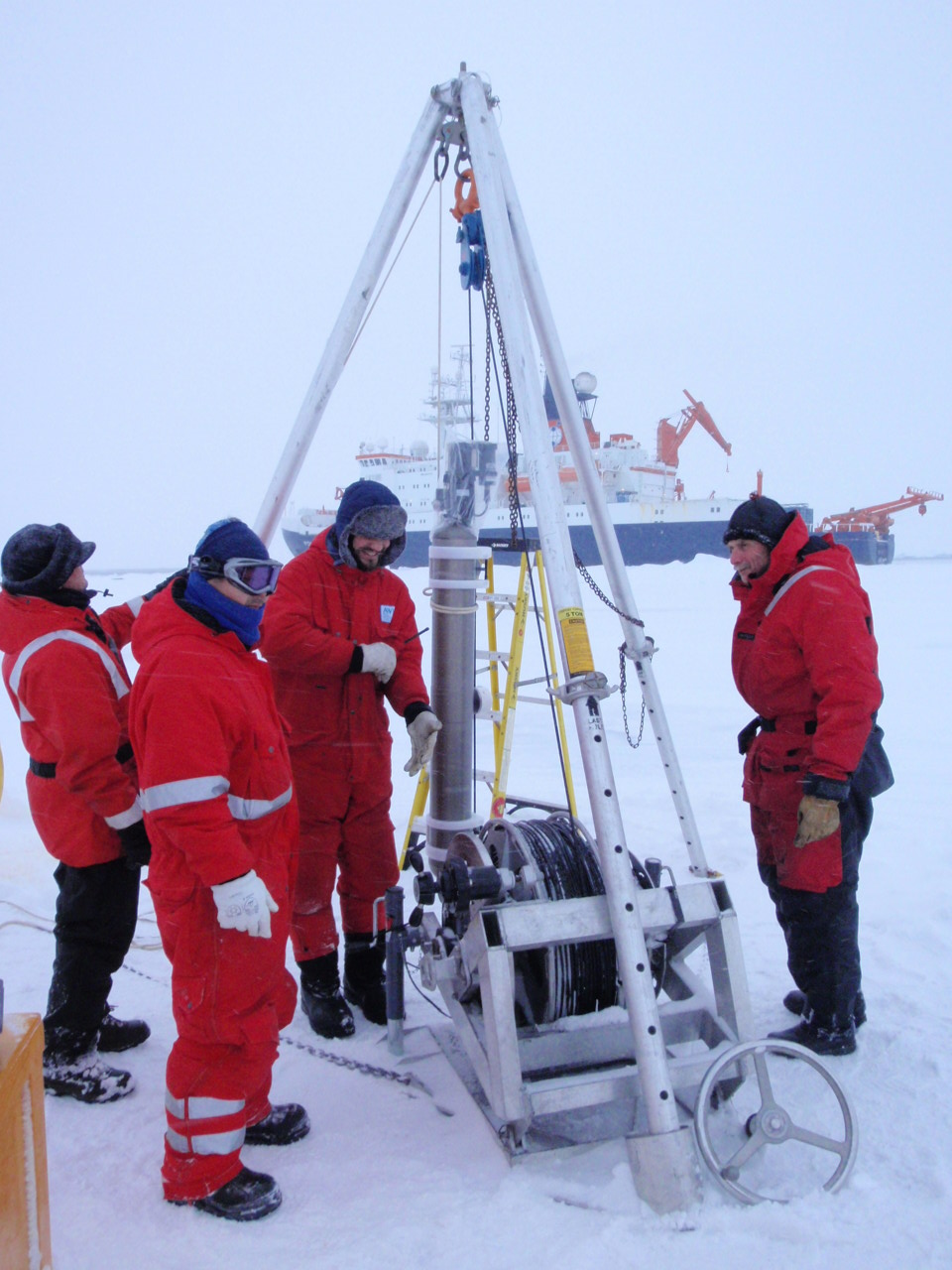
ITP48
Deployment Location: 9/9/2011, 8:00 UTC at 84° 48.8’N, 166° 12.9’E
Last Location: 9/11/2014, 23:00 UTC at 83° 28.1’ N, 73° 22.4’ W
Duration: 1099 days
Distance Traveled: 5173 km
Number of profiles: 1374 in 437 days
Other instruments: IMBB 2011-L, ITAC, ITBOB
ITP 48 was deployed on a 1.2 m thick ice floe in the Transpolar Drift during the ARK-XXVI/3 cruise (TransArc) on the R/V Polarstern as a contribution to the Hybrid Arctic/Antarctic Float Observation System (HAFOS). On the same icefloe, an Optimare ITAC with GPS mast, an Ice-Tethered Bio-optical Buoy (ITBOB), and a US Army Cold Regions Research and Engineering Laboratory (CRREL) Ice Mass Balance Buoy (IMB 2011-L) were also installed. The ITP included a dissolved oxygen sensor and full biosuite system, and operated on a pattern profiling sampling schedule. More information on the biosuite sensor package and data handling can be found here.
