ITP50 Data Description
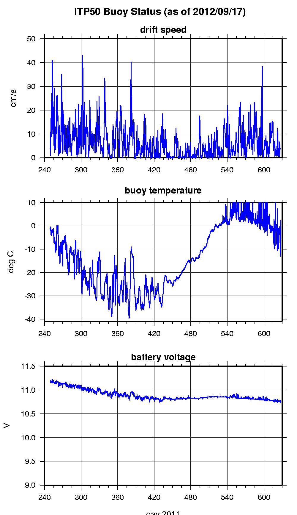
The ITP profiler was configured to operate on a standard sampling schedule of 2 one-way profiles between 7 and 750 m depth each day but the underwater profiler did not communicate with the surface unit, so no profile data were obtained. In the surface package, the GPS receiver was powered hourly to obtain locations, and buoy temperature and battery voltage status were recorded.
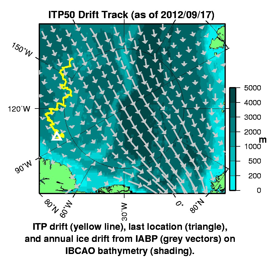
The buoy drifted generally east with the Transpolar Drift along 85°N until it was recovered from the nuclear ice breaker Rossiya one year later.
The plots to the right are of the final location and status data.
See the Data Products tab to the left for descriptions of the three levels (I, II, III) of data processing and to access all data.
ITP 50 location data can also be found at the link below:
Level II hourly buoy location data in ASCII format: itp50rawlocs.dat

