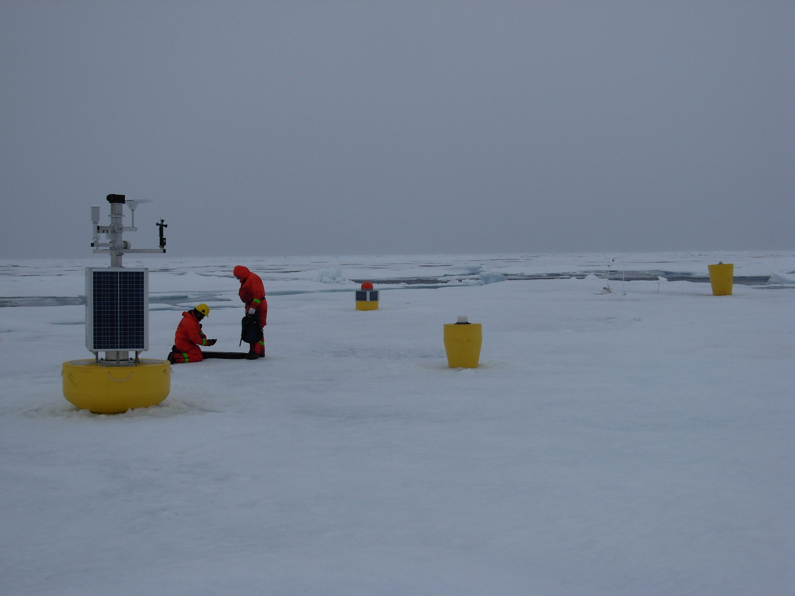
ITP66
ITP66 Overview
Deployment Location: 8/27/2012, 23:53 UTC at 80° 12.7’N, 130° 2.3’W
Last Location: 8/24/2015, 23:01 UTC at 81° 46.78’ N, 140° 60.00’ E
Duration: 1092 days
Distance Traveled: 11,875 km
Number of profiles: 0 in 1 day
Other instruments: AOFB 27, IMB 2012-H, O-buoy 8, ITM2
ITP66 was deployed on a 1.55 m thick icefloe in the Beaufort Sea as part of the Beaufort Gyre Observing System (BGOS) during the JOIS 2012 cruise on the CCGS Louis S. St. Laurent. On the same icefloe, a Naval Postgraduate School Arctic Ocean Flux Buoy (AOFB 27), a US Army Cold Regions Research and Engineering Laboratory (CRREL) Ice Mass Balance Buoy (IMB 2012-H), an autonomous atmospheric chemistry buoy (O-Buoy 8) and an Ice-Tethered Micro (ITM 2) were also installed. The ITP included a prototype MAVS current sensor and SBE-37 microcat fixed at 6 m depth and was programmed to operating on a pattern profiling schedule, but only the microcat provided data after deployment.
